X2BIM data platform
Data usage from different perspectives
X2BIM data platform
Data usage from different perspectives
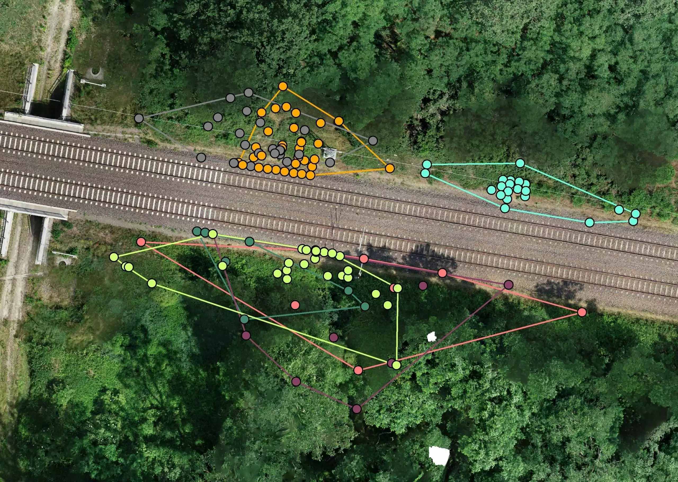
The X2BIM platform represents the centerpiece of our digital work with UAS data. It reduces project costs and increases efficiency and quality on a lasting basis. Developed and operated by our subsidiary infraView, the platform provides fully automatically processed orthophotos and 3D point clouds in the web browser, with integrated drawings and numerous measurement tools.
Key facts
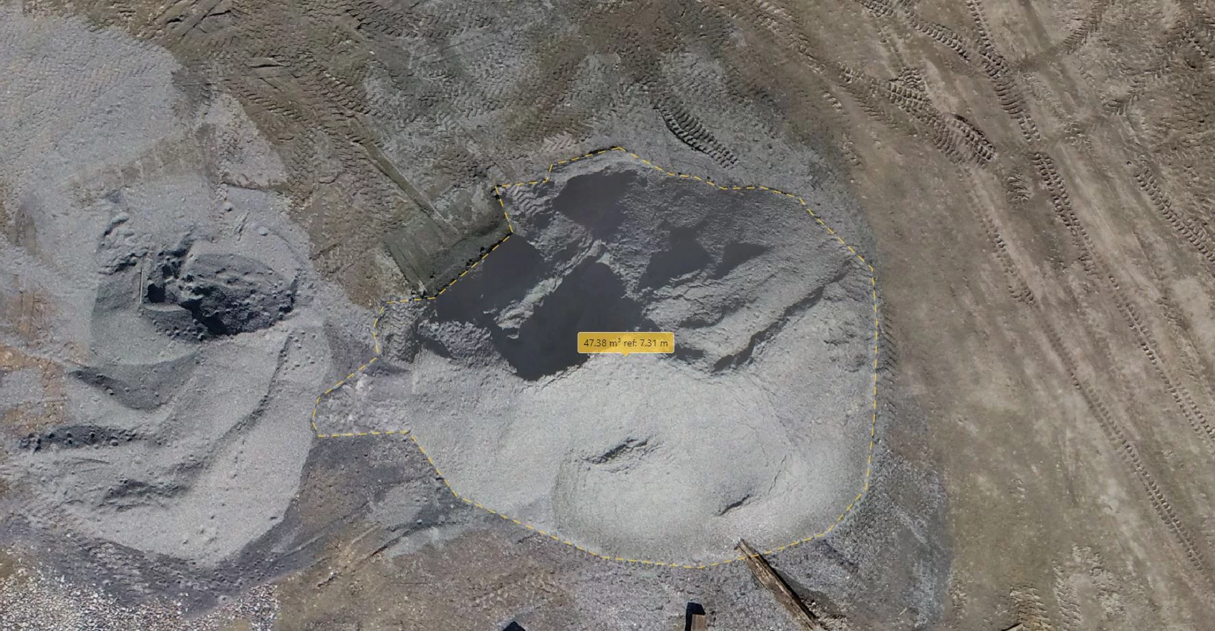 Area/volume measurements at the click of a mouse
Area/volume measurements at the click of a mouse 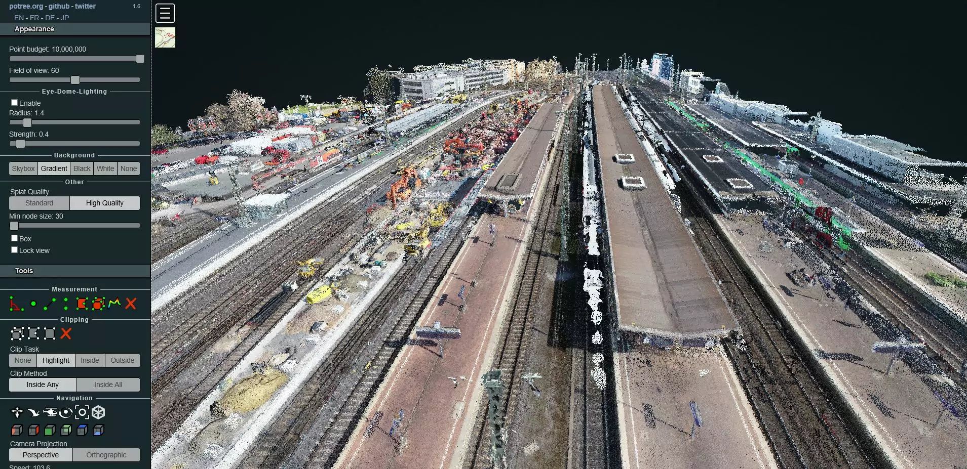 High-resolution 3D point clouds of your project
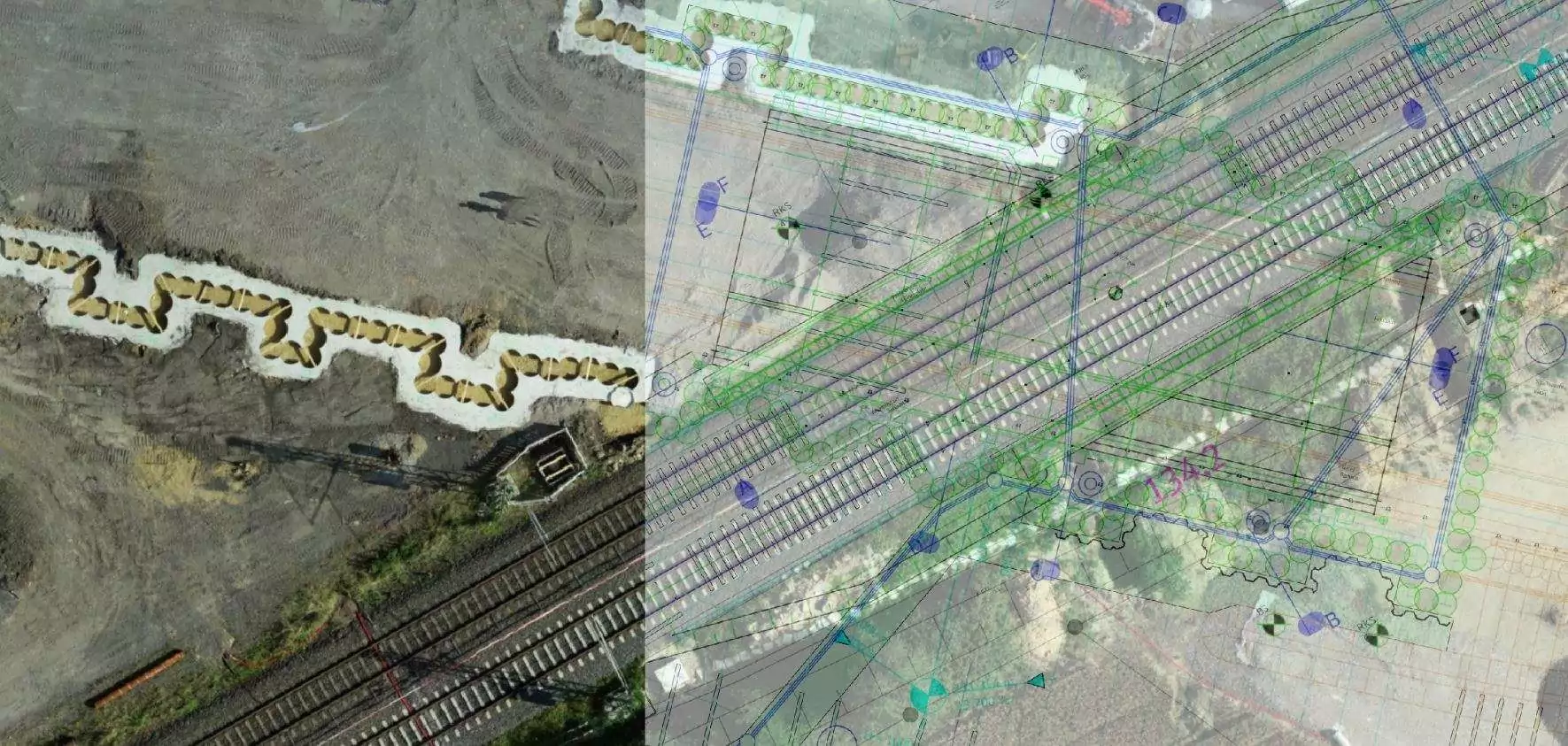
High-resolution 3D point clouds of your project 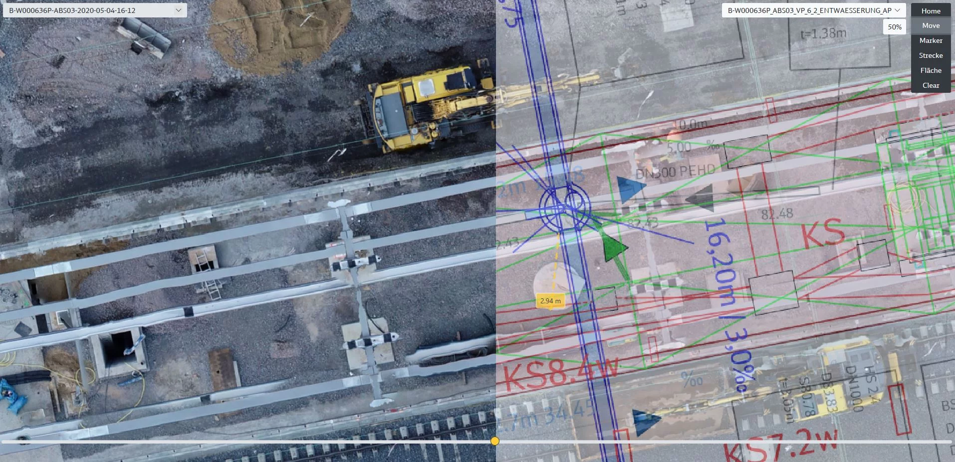 Comparison between site plan (planned) and orthophoto (actual) for checking within seconds
Comparison between site plan (planned) and orthophoto (actual) for checking within seconds
- Secure upload of raw data
- Fully automated photogrammetry process
- High-quality end products – available at short notice
- Browser-based usage
- Integration of design documents
- Access control by means of extensive rights scheme
- Cloud-based overall solution for upload processes, photogrammetry,
AI processes and data storage/hosting - Web-based user interface
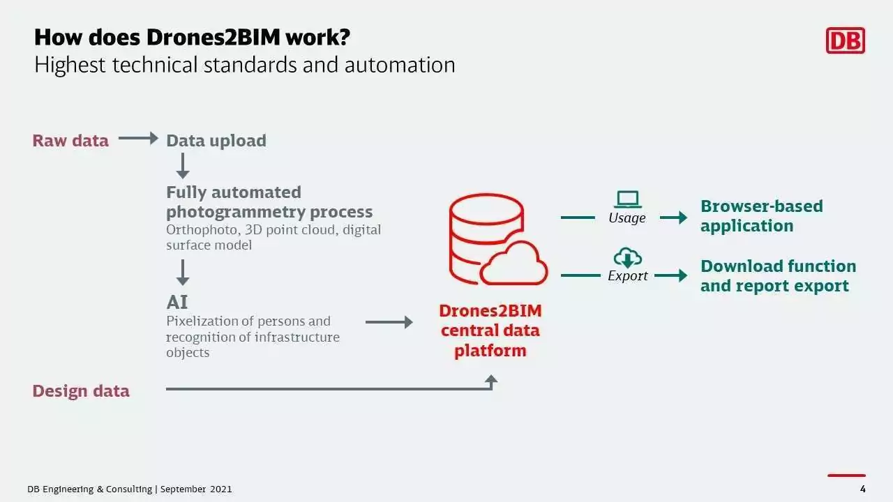
- Provision of the products: orthophoto and point cloud
- Commonly used measuring tools: distance, area, volume, cross section
- Variance analysis by means of geo-referenced drawing integration and overlay
- Visual and analytical comparison of condition over time
- Export function for all data and reports
- Comprehensive rights scheme, easy access via Microsoft 365 accounts
- In perspective: inspection function
- Entire process GDPR-compliant
- Web application accessible from the internet any time, any place
- Efficient processes without the need for site inspection or track closure
- Transparent and reproducible (measurement) data
- Simple use of data without in-depth knowledge
Contact us
Do you want to learn more about the X2BIM data platform at DB E.C.O. Group? Contact us via the form and give us some information about yourself and your company, so that we can optimally prepare for initial contact. We look forward to your inquiry!
